Seminole Tribe of Florida
Clewiston, FL
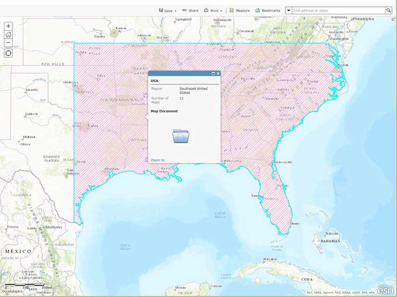
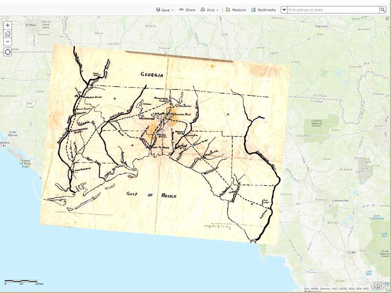
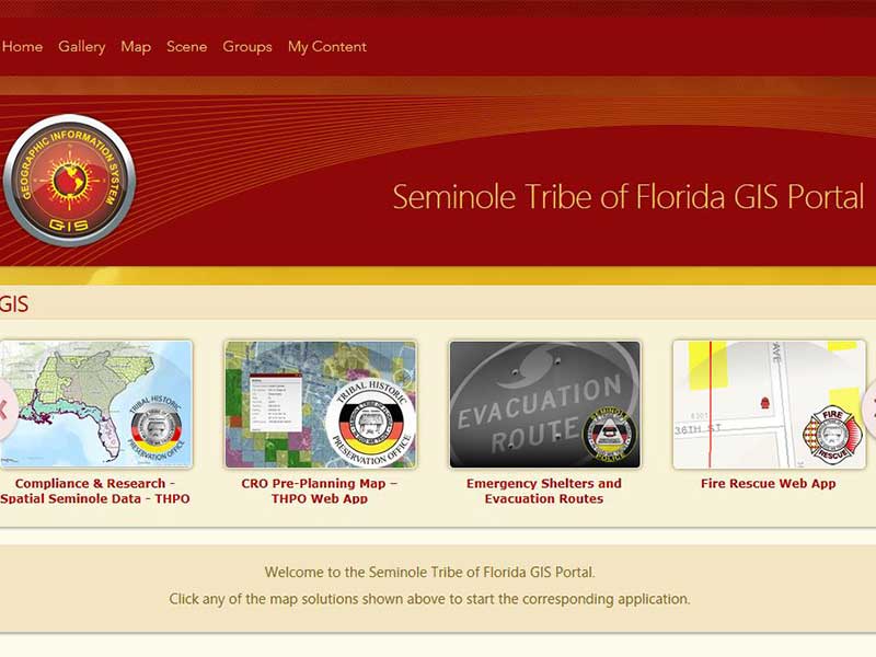
The Seminole Tribe of Florida Tribal Historic Preservation Office’s (STOF-THPO) Phase 1 grant helped us create a shared spatial environment for Tribal members, staff, and researchers to identify cultural resources together. Using a Geographic Information Systems (GIS) Portal environment, Tribal members and staff can share detailed spatial data about culturally significant areas in a geographic landscape that is simple and efficient. In the first phase of the project, a consultant was hired to organize, catalog, and index all of the THPO’s historical maps into a manageable and archived GIS library. The CRF Grant helped us accomplish the second phase of the project, which was to hire a GIS consultant to spatially connect over 400 digital historical maps in our mapping library to our current real-world environment in GIS Portal using a process called georeferencing. To georeference is to take an image, i.e. historical maps, and transform and associate those images to locations with real-world coordinates.
Our project has now made over 400 digital historical maps available for spatial analysis and use within the GIS Portal environment, allowed more meaningful Section 106 consultation with federal agencies about ancestral and aboriginal lands, matched the geo-referenced maps with real-world locations to provide a transparent overlay of timelines that cross-over the same historic spatial area, allowing GIS Portal users to make custom web maps and applications about the Seminole Tribe and its history. With historical map images connected to the real-world coordinates, new data, updated information, and new perspectives about cultural resources have become available to the THPO. Having the STOF-THPO historic map library georeferenced within GIS Portal has created a centralized digital environment that will help share the history of the Seminole Tribe of Florida through an effective visual representation of time and space. This will allow for the development of new GIS technology and story maps that will be used to educate tribal students about their history and culture.
Existing staff was trained on the use of the new map library tools, and a new staff member hired to continue the georeferencing of the historical maps, and to add metadata to newly-received maps. Assistance was received from the Seminole Tribe of Florida IT Department for the implementation of GIS Portal, including installation, configuration, trouble-shooting, and editing.
The project exposed a need for creating a full-time staff position to help manage the historical maps library and the GIS Portal. This was partially due to the project taking longer than expected to complete. One unexpected technical issue arose while implementing the index into ArcCatalog. An incorrect map scale caused a set-back as well. Also, a computer glitch occurred when using GIS Portal in an incorrect web browser. All of these concerns were addressed and overcome during the project.
New awareness of the value of historical map research, and easier access to historical maps fostered new dialogue between the THPO and the Tribal museum for research on previously inaccessible information. The grant allowed us to solidify the value of the GIS Portal for both the THPO and Museum by giving the THPO staff a new tool for research. For example, the historical maps that were added to the Portal were used to identify historical trails. It also allowed for our Compliance section to identify previously unknown sites off-reservation using the historical maps. Additionally, the historical maps were used as a compelling presentation tool, when used within GIS Portal and compared to modern satellite imagery. The Museum also began utilizing the historical maps in GIS Portal as a research tool, particularly for the discovery and identification of previously unknown Seminole camp locations. The project also provided a participatory mapping tool to open dialogue between the THPO’s Research Coordinator and Tribal members at community organized events.
The Phase 1 grant leveraged $14,000 in additional Tribal funding for a temporary staff position to continue the geographic-based historical map library project. The ongoing project will be continued as an internship project. In addition to aiding in our research, presentations, and Section 106 review, the project will now provide valuable learning opportunities for our interns. Our interns will continue to georeference our historical maps that we have yet to complete, along with new historical maps as we receive them. We are continuously working with museum staff for newly acquired maps through books, donations and other library acquisition sources. We will also continue to provide training to incoming staff on utilization of historical maps and GIS Portal.
CRF FAQ
CRF PDFs
Contact
Cultural Resource Fund
Peggy Mainor
Executive Director,
The MICA Group
Phone: 505-415-0787


